The Book

The Roof at the Bottom of the World
Currently out of print, The Roof at the Bottom of the World: Discovering the Transantarctic Mountains comprehensively documents the 1,500-mile length of the Transantarctic Mountains. It is the first atlas of the most remote mountain range on Earth. The presentation is historical, following a narrative of the voyages and traverses of those parties that were first to behold new lands. The stories of the discovery and exploration of the Transantarctic Mountains span a century and a half of valiant enterprise, from the days of wooden sailing ships and the first sighting by Ross in 1841, through the Heroic era when Scott, Shackleton, and Amundsen vied to be the first to reach the South Pole, to the airborne exploits of Byrd in the 1930’s, to the birth of modern Antarctic programs during the International Geophysical Year (IGY) in 1957-58.
As expeditions pushed deeper into the interior, the Transantarctic Mountains unfolded before them as a great, linear fortress of rock, dividing the East Antarctic Ice Sheet from the Ross Sea, Ross Ice Shelf, and West Antarctic Ice Sheet. The stories of exploration are familiar to those with Polar interest, but the territory, less so.
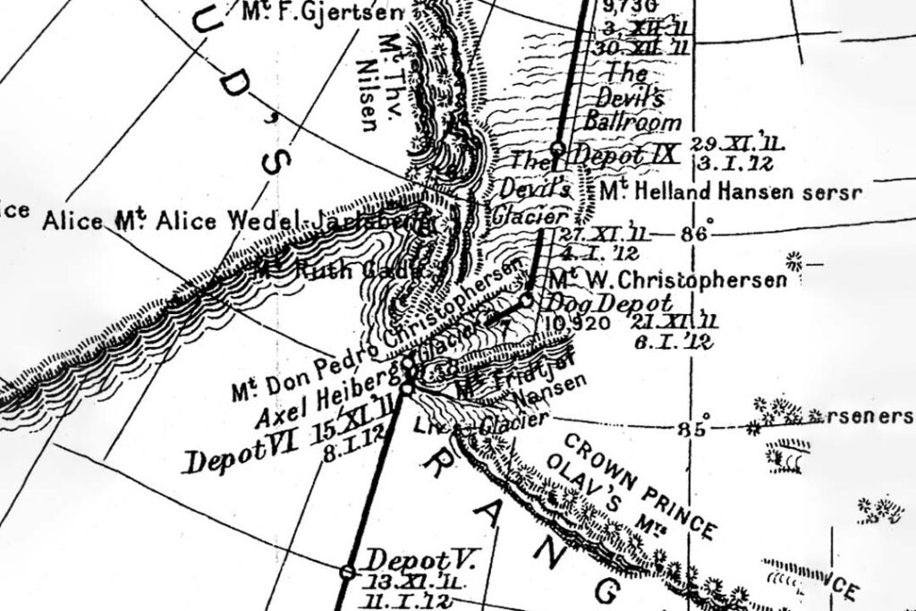
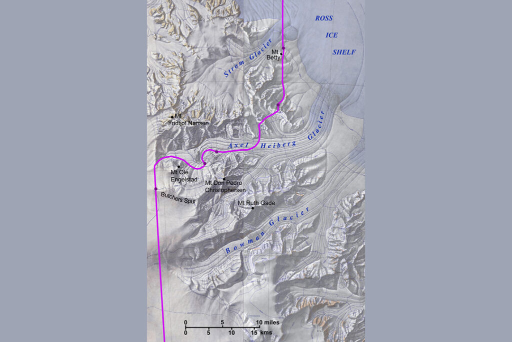
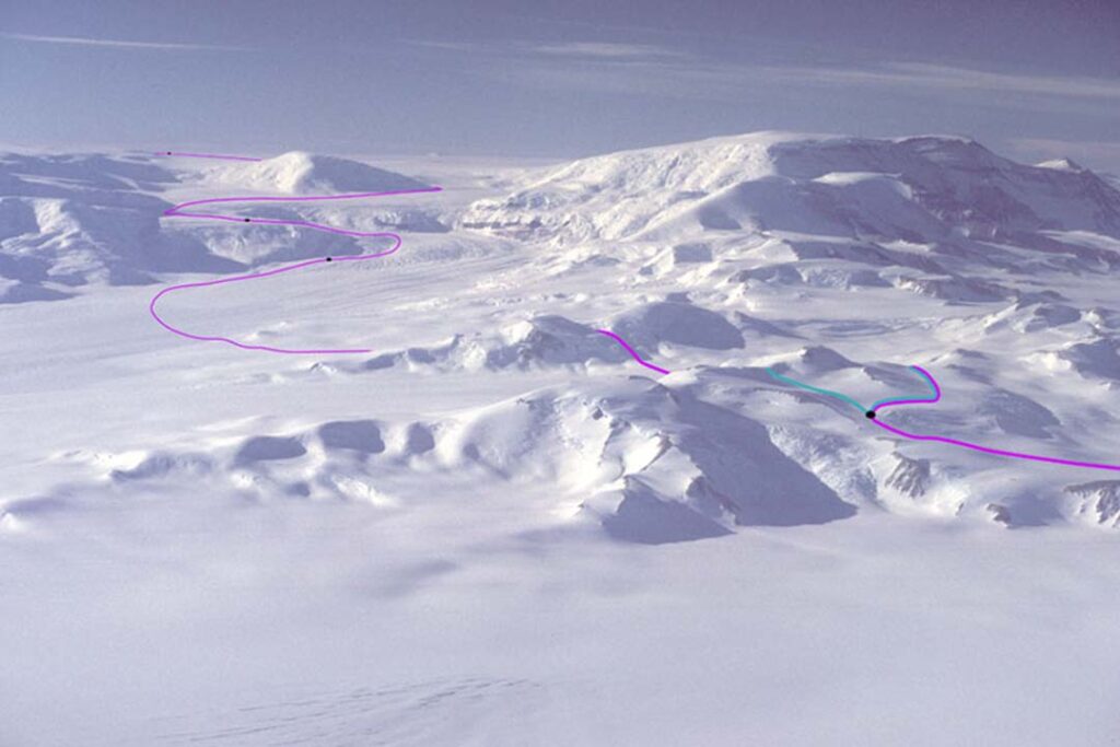
Through the use of annotated photos and shaded-relief maps, the book plots the routes taken by the early expeditions, enabling the armchair explorer to visualize the trails blazed by those who bore first witness to these wonders beyond the icy sea. The book also reproduces original maps from the explorers, showing how they perceived their discoveries, and in some cases, how limited was their view. Compare the three figures that follow of Amundsen's route up Axel Heiberg Glacier to the South Pole.

