People always ask when they see this picture, “Is that you out there?” To which I always reply, “No, that’s me behind the camera.” Were it not for a crooked back, I would have been out there with Phil Colbert, and would have missed the shot. Sometimes things work out the way they are supposed to. This peak, named The Tusk by a New Zealand geological party that had traversed the area in the early 1960’s, is a 600-foot horn of pure marble that juts up at the edge of Liv Glacier close to where it enters the Ross Ice Shelf. Overridden by a much thicker Liv Glacier at a time in the past when the ice shelf was grounded and backed into the mountains to higher elevations, the profile of the peak is vertical to overhung in the upstream direction, but tapers smoothly at a consistent angle of about 30 degrees downstream. The peak is basically a walk-up from the north.

The Tusk viewed from the south.
When I first became aware of this beautiful hunk of rock was in December 1970 during my first trip to the Ice. Directly to the north of The Tusk is a shoulder and high ridgeline called Mt. Henson, which had been mapped by the New Zealand party, as having a contact between marble and schist. I had been there is December, 1970, on my first trip to the Ice, landed by a helicopter at the foot of the mountain. My partner and I had climbed to the summit of the ridge and measured and collected the stratigraphic section of the marble and metavolcanic rocks along the ridgecrest.

South face of Mt. Henson, with dark schist on the right side of the massif in contact with the narrow band of white marble and gray metavolcanic rocks to the left.
When we were finished, we high-tailed it off the ridge, dropped the samples by our survival gear, and started hiking straight toward The Tusk with time we thought to climb and collect it. Much to our chagrin, the helicopter came a couple of hours early and we did not even make it to the foot of The Tusk.
Four years later, on my second trip to the Ice, I was working in the Duncan Mountains, directly across Liv Glacier from Mt. Henson and The Tusk. The Kiwis had also mapped a contact between schist and volcanic rocks in the Duncan Mountains. As with the contact at Mt. Henson, they had interpreted it as being conformable, meaning that one group of layered sedimentary (or volcanic) rocks follows on top of another, their beds parallel. In the course of our mapping, we had decided that the contact in the Duncan Mountains was in fact a fault, a break in rocks along which there had been movement or displacement. It now occurred to us that the contact at Mt. Henson might also be a fault, and since I had not given it more than a passing glance in 1970, we decided to cross the mouth of Liv Glacier and check it out.

Charlie Corbato, my advisor, and Phil Colbert check the air photos during the crossing of Liv Glacier. This photo looks south along the medial furrow on Liv Glacier, with a ridge of crevasses immedaitely to the right.
We followed the Kiwi route which skirted a huge and obvious crevasse field on its north side, then locked into a deep furrow up the middle of the glacier that was smooth with snow, but flanked by heavily crevassed ridges on either side. After following this south for a couple of miles, we cut straight across the Liv again. In the furrow we crossed lots of crevasses that were a couple of feet wide and very deep, but because of their width we were able to drive across them comfortably given the length of our snowmobile. But on the far side of the furrow, we encountered wider and increasingly subtler crevasses, and so were forced to probe for a couple of miles. When we finally made it to the far side we sledded to the north of Mt. Henson to have a look at the structure and then drove back into the reentrant to the south of Mt.Henson were we camped.

North face of Mt. Henson, with dark schist on the left and light-colored marble throughout the rest of the massif.
The next day, December 27, we climbed to the top of the ridge and examined the contact close up. It was highly sheared and deformed, and although the layering on either side of the boundary was parallel, the degree of deformation right at the contact led us to interpret it also as a fault.

Contact between schist and marble near the summit on the south face of Mt. Henson.
When I awoke the next day, my 28th birthday, my lower back was spasmed so badly that I couldn’t stand. I lay in my sleeping bag all day with only slight improvement to my pain. The next day I could at least walk and sit on a snowmobile, so we drove over to The Tusk and climbed it. Each step was painful to me, but the incline was so smooth and gentle that I was able to gut it out to the top. When we reached the summit, the bulbous end of The Tusk beckoned immediately to the south. Phil said he was going out to see what the view was like from there. I declined. On the steepest part to the right of the sharp edge leading to the tip, Phil used his hands to scramble along, but otherwise he frictioned his way along on two feet. When he got to where he was going, he stood for about five minutes contemplating the scene then turned and came back. I shot a single photo, as was my practice at the time, of what I perceived to be the best frame of the shot, and that was that.

This is me sitting on the summit of The Tusk with my spasmed back. The tip of the massif is visible to the left.
We made it down, more painfully than I had ascended, and drove the snowmobile back to the Duncan Mountains following our footprints and snowmobile tracks to the spot where we had started this side trip across Liv Glacier. In hindsight we had hung it out more on this traverse than any other in my Antarctic career.
Gallery – Intrusive Patterns 2.0 (TAM) 1.0
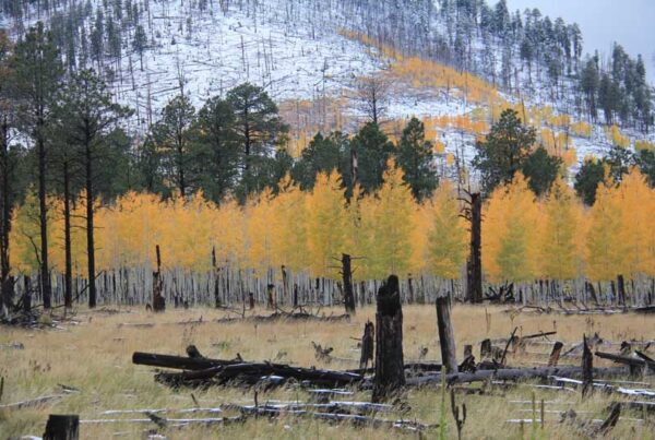
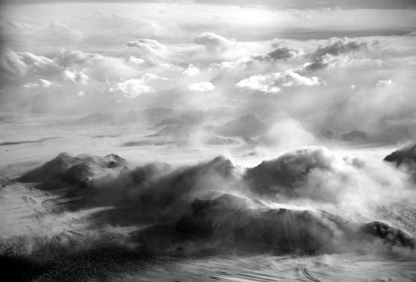
This week’s galley is more patterns of intrusive rocks.