Last week the holidays broke my routine. As I head into the New Year, The Roof at the Bottom of the World has been launched, and I will all too soon be back to the professorial demands of my day job. My resolution for the New Year is to keep this blog going on a monthly basis, with postings on the first of the month, and what better send-off for 2012 than a short, illustrated lecture on the geology of the Transantarctic Mountains? If you do not know the Rock Cycle, a brief primer can be found at this link.
The present-day Transantarctic Mountains (TAM) arose about 40-50 million years ago, as West Antarctica extended and pulled away from East Antarctica, along a master fault located along the seaward side of the mountains. Perhaps not coincidentally, the trend of the TAM follows an old, rifted margin of East Antarctica along which a major mountain belt formed around a half billion years ago. Geologists call mountain-building episodes orogenies, and they give them names. This orogenic episode in Antarctica is called the Ross. As with most sequences of rocks associated with mountain building, the Ross suite of sedimentary rocks were mostly deposited in oceanic settings, in part associated with volcanic rocks, and accumulated prior to and during the mountain-building interval. These rocks were buried deeply and deformed. In the guts of the mountain belt, melting occurred and voluminous magmas rose up into the overlying sequences. Then the whole process shut down and the mighty mountain range was eroded deeply to its core with only a level plain remaining. Deciphering the complexities of the Ross mountain belt has been the primary focus of my research throughout my career.
Kukri is the name given to the erosion surface on the Ross orogenic belt. Between about 350 and 180 million years ago, a thick sequence of sedimentary rocks accumulated on the Kukri erosion surface. The so-called Beacon deposits were laid down mainly by rivers and streams. Ancient glacial deposits characterize the lower portion of the sequence, and a number of layers of coal occur higher up. The Permian seed fern, Glossopteris, and the Triassic mammal-like reptile, Lystrosaurus, date the sequence, and allow correlation with similar sequences of sedimentary rocks found throughout the continents of the southern hemisphere.
The Beacon sequence ends with a brief episode of profuse magmatism, associated with the beginnings of break-up of the supercontinent of Pangaea. Much of the magma intruded as tabular sheets (sills) between layers of the Beacon sediments.
The uplift of the TAM 40-50 million years ago has left no rock record within the mountains themselves; however, sediments in the Ross Sea, offshore of the mountains, record their history of erosion. The final geological event to produce bedrock in the TAM is eruption of the McMurdo volcanic suite. Volcanism has been active at a sprinkling of centers along the Victoria Land coast beginning about 20 million years ago, and continuing to the present-day in the active lava lake on the summit of Mt. Erebus, not far from McMurdo Station and Scott Base.

This photo encapsulates the geology of the Transantarctic Mountains with folded and intruded metamorphic rocks of the Ross orogenic belt capped by the Kukri erosion surface and overlain by Beacon sedimentary rocks, the thin, light-colored beds, which have been intruded by the dark layers of magma. Scale on the cliff is about 600 feet vertical.

The highest reaches of the TAM are flat-topped and blocky, owing to the nature of the horizontal bedding in the Beacon sediments. Mt. Blackburn at the back of the image is the highest summit on the east side of Scott Glacier. The prominant horizontal line below the summit is the Kukri erosion surface. Beneath that all of the rock is Ross granite.

With the exception of the thin band of Beacon sediments in the uplands at the horizon, all the outcrops in this image are Ross igneous and meatmorphic rocks.

The contacts between igneous and metamorphic rocks can be beautiful by virture of their complexity. Pegmatite Point, Duncan Mountains.
A typical exposure of Beacon sediments, Falla Formation on Mt. Falla.

Beacon sedimentary rocks intruded by dark, igneous rocks, south end of The Cloudmaker. Piedmont glaciers puddle out across the rocky flat, merging with Beardmore Glacier at the right edge of the image.

A steam cloud rises from the summit of Mt. Erebus, the active volcano on Ross Island. Castle Rock is the prominent plug in the foreground.

At the summit of Mt. Erebus is a crater within a crater. Within the inner crater a crusted lake of lava continuously convects, releasing steam and other vapors.
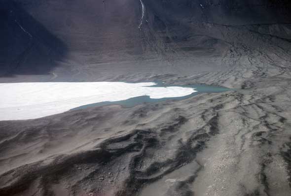
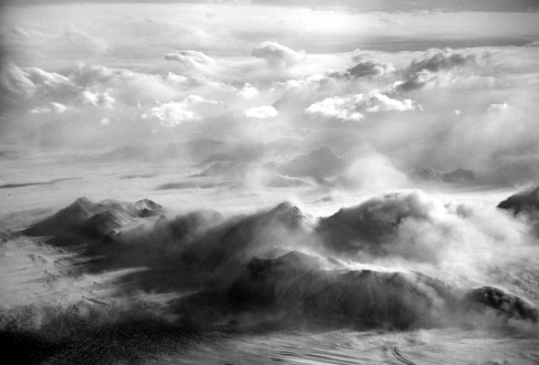
Gallery – CTAM Crevasses
Last year I brought in the New Year at the CTAM camp (short for Central Transantarctic Mountains camp.) I had several fantastic flights over extremely crevassed terrain. This week’s gallery is a sampling. The first two images are of Beardmore Glacier, the third and fourth are of Nimrod Glacier, the fifth is of the northeast flank of Mt. Markham, and the sixth is a random image from the middle of nowhere at the edge of the East Antarctic Ice Sheet.